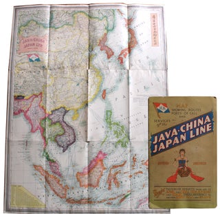
JCJL Map Showing Routes, Ports of Call and Services of the Java–China–Japan Line . . . [Cover title]/ Java-China Japan Lyn [Map title].
London, England: Stanford's Geog[raphica]l Estab[lishmen]t, [circa 1931]. Map measuring 44” x 33¼” partially glued down as issued to heavy card stock bifolium measuring 14¾” x 9” and with two pages of text and images on map's verso. Very good: minimal wear to the map which has a few insignificant spots..... More