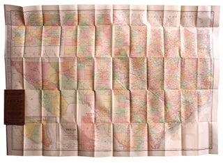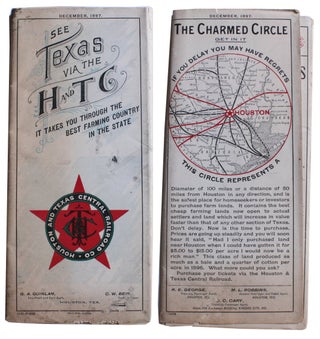
Map Showing Houston & Texas Central System of Railroads. [Front Panel Title: See Texas Via the H And TC. It Takes You Through the Best Farming Country in the State.]
Chicago: Poole Bros. Map Engravers, 1897. 8¾” x 4” folded; opens to 17½” x 34¾”; Map of the United States: 16½” x 30½”; County Map of Texas: 11¼” x 11¼”. Very good: moderate staining and a few small nibble holes to outer panels costing a couple of characters in panels..... More